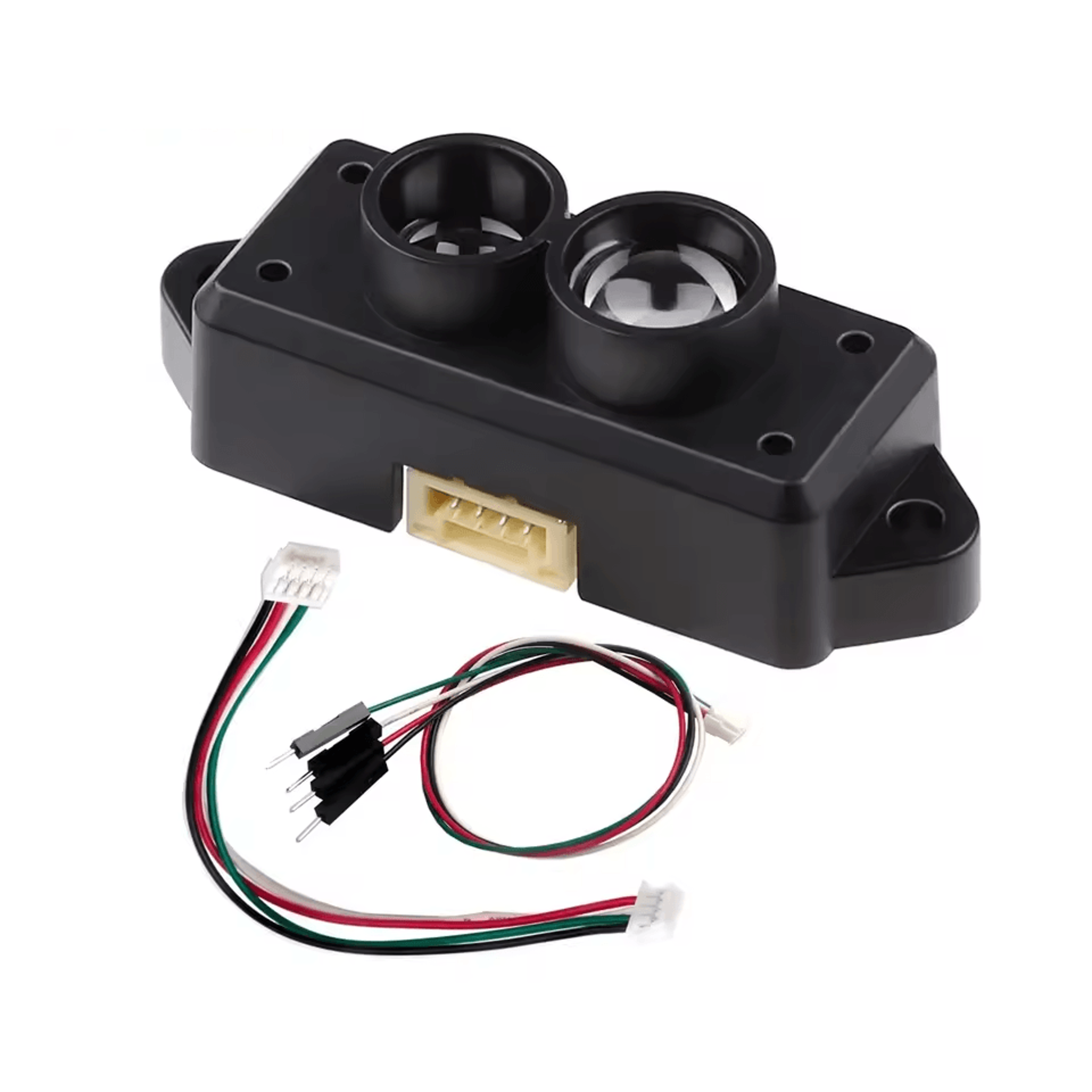
Quectel LC29HEA RTK Module, High Precision Centimeter Level GNSS for Drones, 10HZ Output for Flight Control & Mobile
Top Demand Picks
3K+ Sold

Top Demand Picks
3,543 Sold
Quantity
Guaranteed Safe & Secured Checkout
About this item
Elevate your project from meter-level guesswork to centimeter-level precision. The Quectel LC29HEA RTK Module is a state-of-the-art GNSS differential positioning solution engineered for applications where absolute accuracy is non-negotiable. This module is the core of professional-grade navigation, transforming standard GPS data into reliable, high-fidelity location intelligence.
Unmatched Centimeter-Level Accuracy for Critical Applications:
Leveraging Real-Time Kinematic (RTK) technology, the LC29HEA corrects GPS signals in real-time, delivering unparalleled high precision positioning. This eliminates the common errors that plague standard GPS modules, ensuring your drone, robot, or mapping system knows its exact location down to a few centimeters. This is essential for automated flight paths, accurate land surveying, and any project where a small error can have a large consequence.
High-Speed 10HZ Output for Responsive Flight Control:
For dynamic applications like drone flight control, data refresh rate is critical. This module features a blazing-fast 10HZ output, providing ten position updates per second. This ensures your flight controller receives timely data for stable hovering, smooth navigation, and responsive maneuvers, even at high speeds. It is the ideal engine for advanced drone autopilots, agricultural mapping, and cinematic videography.
Robust and Flexible GNSS Support:
The module supports all major GNSS constellations including GPS, GLONASS, Galileo, and BeiDou. This multi-system support increases the number of visible satellites, enhancing reliability and precision in challenging environments like urban canyons or under light tree cover. Its capability to operate as a mobile station (rover) makes it incredibly versatile for a wide range of autonomous and guidance systems.
Key Features & Benefits:
RTK & Differential GPS: Achieves centimeter-level positioning accuracy for professional results.
High 10HZ Update Rate: Essential for high-speed applications and responsive flight control.
Multi-GNSS Support: Utilizes GPS, GLONASS, Galileo, and BeiDou for superior reliability and coverage.
Industrial Grade Reliability: Built for demanding applications in drones, robotics, agriculture, and surveying.
Compact & Integrated: A complete, ready-to-integrate solution for developers and engineers.
Ideal For: Autonomous drone systems, precision agriculture, robotic navigation, surveying equipment, academic research, and any project requiring reliable, high-accuracy geolocation.
Delivery & Return Policy
Free Shipping
24/7 Live Chat
Secure Payments
Delivery & Return Policy
Meet your seller
Top Demand Picks
3,543 Sold